Space-level AI for Infrastructure Monitoring
Satellite imagery and machine learning that automate vegetation analysis along roads and power lines — replacing costly patrols, helicopter and drone inspections.
Here are some examples of our ongoing research projects in Applied Machine Learning for monitoring and managing infrastructure and natural resources.

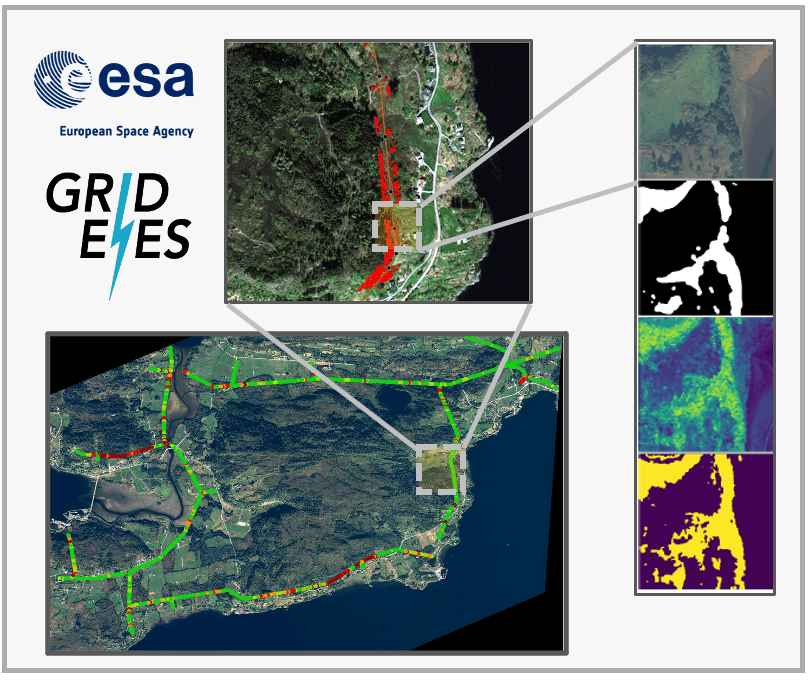
Space-level AI for Infrastructure Monitoring
Satellite imagery and machine learning that automate vegetation analysis along roads and power lines — replacing costly patrols, helicopter and drone inspections.

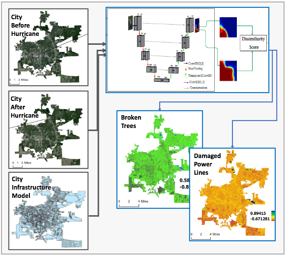
Disaster Impact Assessment using High Resolution Satellite Images
AI on multispectral and SAR imagery that rapidly assesses the impact of natural disasters to guide emergency responders.

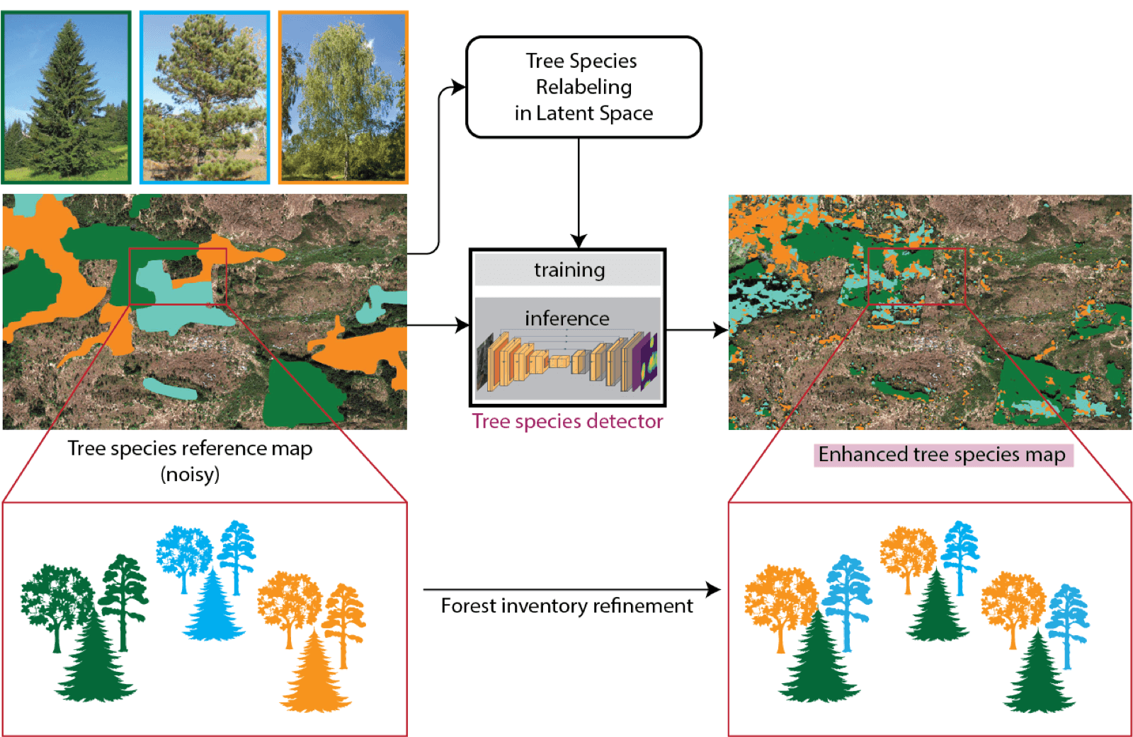
Tree Species Classification Using Satellite Imagery
Identifying tree species from space with multispectral imagery — a cost-effective alternative to field surveys, LiDAR and aerial imaging.

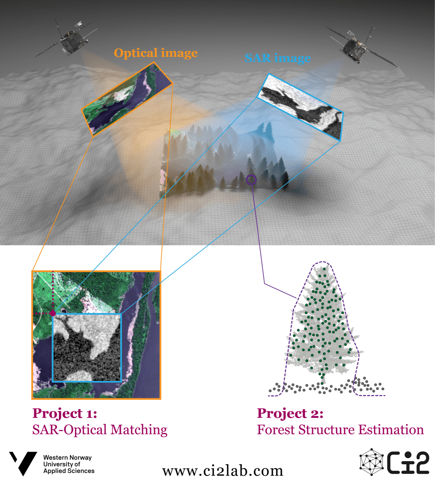
SAR - Optical Fusion for Multi-Modal Remote Sensing
Fusing synthetic aperture radar and optical imagery into rich multimodal datasets for forest structure and risk assessment.

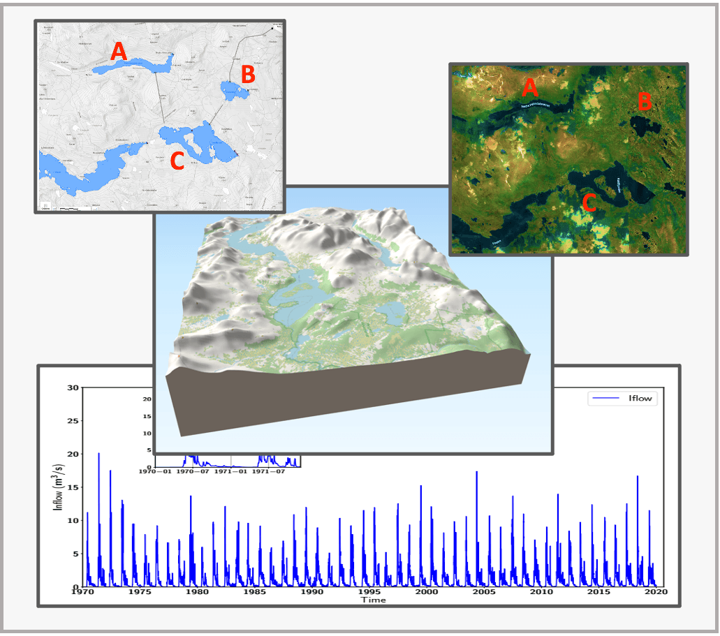
AI Powered Forecasting for Hydro-Power
AI-powered short-term scheduling for cascaded hydropower reservoirs, integrating hydrological and meteorological data.

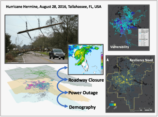
Multi-Domain Infrastructure Networks Resilience
Causal inference and machine learning characterizing the spatiotemporal, multi-domain vulnerability of urban infrastructure.

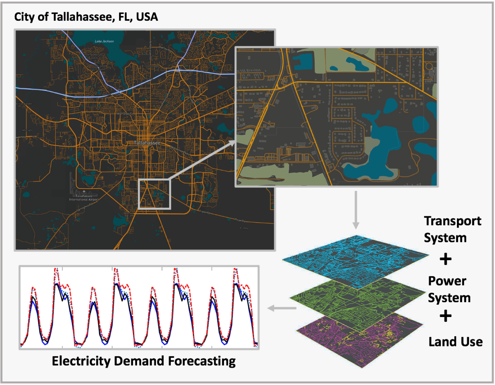
Causal Inference for Complex Multi-Layer Networks
Causal Bayesian multi-network models linking driving patterns, electricity demand, weather and demographics.